Do you remember our student cruise in the fjords south of Bergen some weeks ago? We brought students on the ship Kristin Bonnevie to deploy moorings and take CTD measurements (read about it here: https://elindarelius.no/2018/02/07/to-the-bjornafjord-with-students-from-gfi/).
Last week, we returned to Bjørnafjorden with Bachelor students on board of Kristin Bonnevie to recover the moorings and take more CTD sections. All four moorings were recovered smoothly and successfully without any loss, which made us very happy! During the whole cruise, the students took CTD measurements, also with miniCTDs, for which they had to drive out with a little boat to get into more shallow areas. The student definitely returned from the cruise with a lot of data to work with.
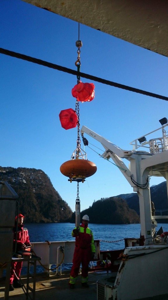
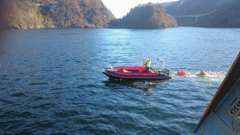
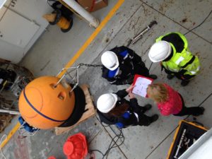
Recovery of moorings in Bjørnafjorden during a student cruise. Moorings are arrays of instruments that are brought to the see floor by heavy weights. A release and floating elements are used to bring the instruments back to the surface.With this little boat, we went further into the fjords in shallower areas to take measurements with miniCTDs.
A new day in the Bjørnafjord with the fjord oceanography students from GFI has begun – and we decided to check in on one of our moorings. The moorings are equipped with an “acoustic release”, a unit which we can communicate with using acoustic signals. Normally we only talk to it to tell it to release the anchor and come up to the surface, but you can also use it to find out where the mooring actually is… and that was what was on the schedule this morning.
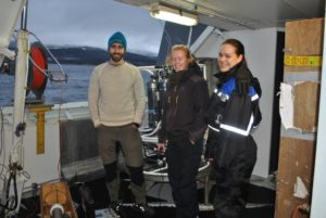
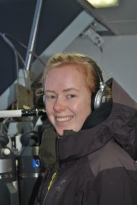
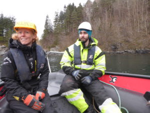
Waiting for the ship to get in position (Algot, Vår and Carola)
The captain made three stops around the position where we let go of the anchor, and at each position we lowered a transducer down into the water and asked the release to tell us how far away it is*. There was some confusion about what codes to actually use (sorry Kristin for waking you up!), but once we got the right one the release responded promptly!
Transducer going down!Is there anyone out there? Vår listening for the acoustic release to respond
With three positions and three distances you can draw three circles – and if all is well they ought to cross each other in one location… which is where your mooring is! This time it was well and safe were we thought it was – which is good, because the captain had already reported the position to the navy who will do submarine training here in the weeks to come!
*what actually happens is that the deck unit measures the time it takes between emitting a signal and receiving a response, and knowing the speed of sound in the water you can calculate the distance.
You don’t have to go all the way to Antarctica to do exciting oceanographic fieldwork! This week I’m lucky enough to bring a bunch of enthusiastic students out on Krisitin Bonnevie to explore the fjord “Bjørnafjorden” just South of Bergen. Many of them have never been at sea before, but a week of CTD’s and moorings and they are ready to go just about anywhere!
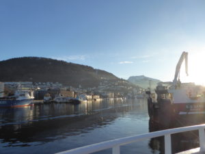
Leaving Bergen for Bjørnafjorden (Photo: Carola Detring)
One of the aims of the cruise is too try to solve the puzzle with the mysterious tidal currents in Lukksundet… Lukksundet is a narrow strait connecting the Bjørnafjord to the Hardangerfjord in the south. The tidal currents are very strong here – nothing strange with that – what’s strange is that they turn every two hours!
Discussing mooring design (photo: Carola Detring)
The tides along the coast of Norway are semi-diurnal; there are two high tides and two low tides a day. We’d expect the tidal currents to have the same periodicity (i.e. to change direction every sixth hour), but to be shifted in time so that maximum tidal currents occur in between high and low tides. Obviously, something more complicated is happening in Lukksundet! I’ve got an hypothesis about what is going on… do you?
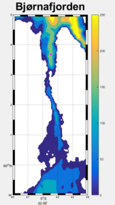
Map over Lukksundet, with the Bjørnafjord in the north and the Hardangfjord in the south.
The students have deployed moorings within and around the strait, and hopefully we’ll be able to resolve the riddle when we retrieve the data on another student cruise to the fjord a month from now!
On our way to deploy a tidal gauge in Lukksundet (Poto: Carola Detring)
The students have posted photos and a film from the cruise here!