
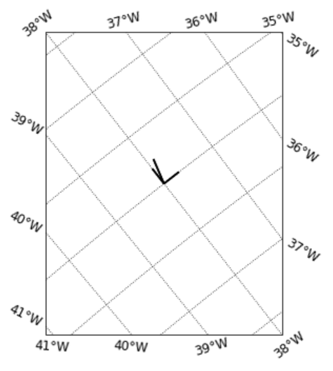
My Python enthusiasm was severly damaged yesterday as I (after a lot of head-scratching) realized that it is not my programming that makes things look strange, but an error in the cartopy* package – when plotting vectors (such as e.g. currents from moorings) in a map using quiver, the vectors are wrongly transformed and end up pointing in the wrong direction… when googling the issue I quickly found solutions and workarounds (thank you StackOverflow!) but still… if I hadn’t tried to plot my scale vector at a 45degree angle I might never have found out…
So, what else can I not trust?
* a Python package to e.g. plot maps